
If you’re preparing for IGCSE Geography Paper 4, you’re likely aware that it’s quite different from the other papers. Unlike Paper 1 (theory) and Paper 2 (skills), Paper 4 focuses on the application of geographical enquiry skills — the kind you’d develop during coursework. That’s why it’s known as the Alternative to Coursework.
In this blog, I’ll break down the paper’s format, the key skills assessed, and share top tips to help you succeed — including how to think like a geographer under exam pressure.
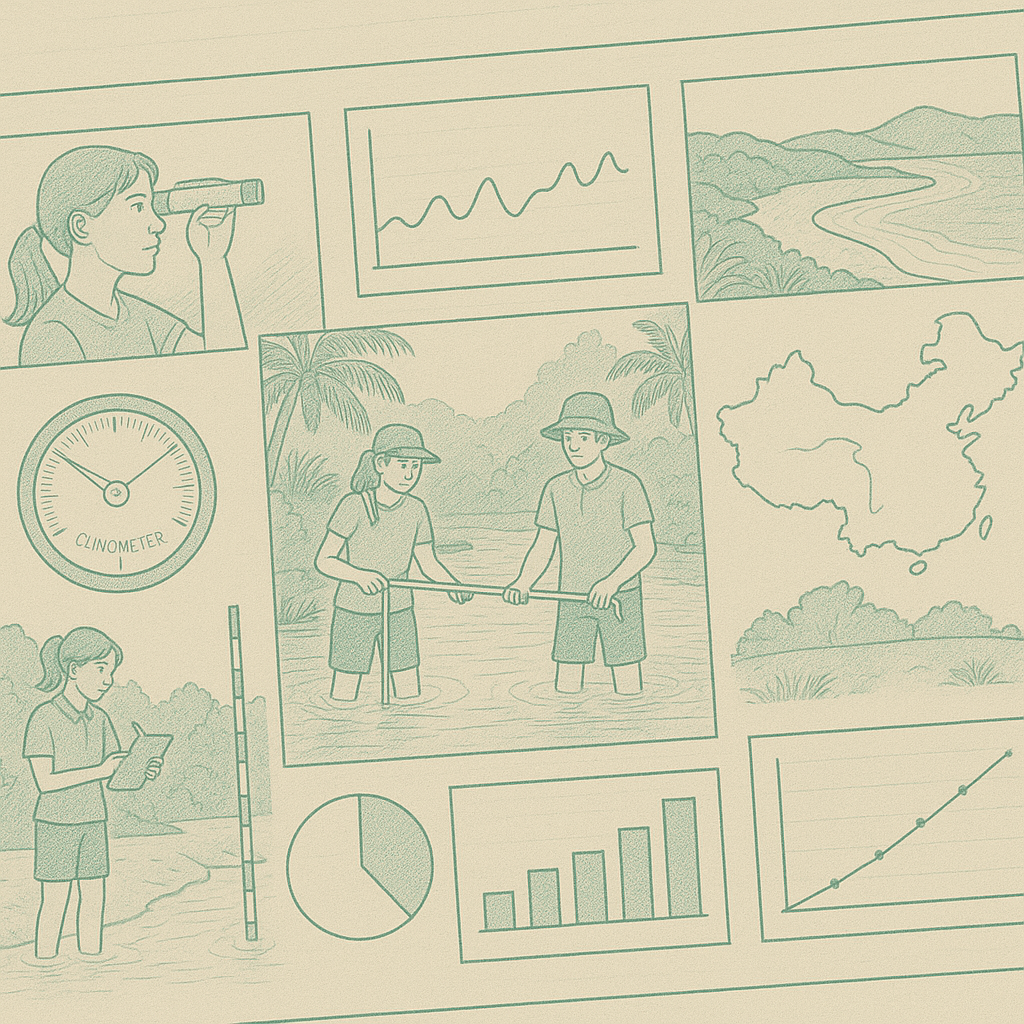
📄 What Is Paper 4?
Paper 4 assesses your ability to carry out a geographical enquiry — on paper. There’s no fieldwork, but you’ll be expected to demonstrate how to plan investigations, collect and present data, analyse it, and make sound judgements based on evidence.
According to Cambridge, the paper is broken down like this:
| Assessment Objective | Marks Allocated |
| AO1: Knowledge and understanding | 12 marks |
| AO2: Skills and analysis | 36 marks |
| AO3: Judgement and decision-making | 12 marks |
| Total | 60 marks |
This means:
- 20% of your mark comes from remembering methods and techniques.
- 60% is all about applying geographical skills — e.g. interpreting graphs, identifying patterns, and suggesting improvements.
- 20% is your conclusion — making justified decisions and evaluations.
📚 What You Need to Know: The Route to Geographical Enquiry
Cambridge outlines a clear seven-step enquiry process that underpins Paper 4. Here’s what each step means — with simple explanations and examples:
- Identify the aim or hypothesis
➤ What are you investigating?
Example: “To investigate how river width changes downstream.” - Decide on data collection methods
➤ What techniques will you use to gather data?
Example: Measuring river width using a tape measure at regular intervals. - Collect the data
➤ Go into the field (or imagine it) and gather the information.
Example: Record the width at five sites along the river. - Present the data
➤ Show your results clearly using graphs, maps or tables.
Example: Draw a line graph showing changes in river width from source to mouth. - Analyse and interpret the data
➤ What do the results show? Look for patterns, trends, or anomalies.
Example: “The river width increases steadily downstream.” - Make conclusions
➤ Summarise your findings and link back to your aim or hypothesis.
Example: “The hypothesis was correct — the river does get wider downstream.” - Evaluate the investigation
➤ What went well? What could be improved?
Example: “The investigation was limited because only five sites were used. More sites would give more reliable results.”
💡 TIP: Use this structure when answering longer questions about investigations — it keeps your response logical and complete.
🛠️ Top Tips for Success
✅ 1. Know Your Data Collection Methods
Here are some common fieldwork techniques you’ll need to describe and evaluate — with a short explanation and example for each:
- Questionnaires
➤ Asking people questions to find out their opinions or behaviours.
Example: Used in a tourism study to ask visitors why they chose a particular destination. - Environmental quality surveys (EQS)
➤ Scoring different aspects of the environment (e.g. litter, noise, green space).
Example: Used to compare living conditions in different urban neighbourhoods. - Traffic or pedestrian counts
➤ Counting how many vehicles or people pass a point in a set time.
Example: Used to measure the impact of tourism on congestion in a town centre. - Land use surveys
➤ Observing how land is used and recording it (e.g. residential, retail, industrial).
Example: Used in an urban study to map land use zones from the city centre outward. - Measurements (e.g. river depth, beach profile)
➤ Using tools to measure physical features.
Example: In a coastal study, measuring the angle of the beach to understand erosion.
💡 Tip: Always link the method to the aim — this shows good judgement.
✅ 2. Practice Graph and Table Interpretation
You’ll often be given graphs, tables, or diagrams and asked to describe or explain them. To gain full marks, do more than state the obvious — look for patterns and anomalies.
Example – Pattern:
“As distance from the city centre increases, traffic levels decrease steadily.”
Example – Anomaly:
“At 4 km from the city centre, there is a sudden spike in traffic — possibly due to a shopping mall or business park.”
💡 Tip: Use clear comparative language — “greater than”, “fluctuates”, “sharp increase”, “levelled off” — and always try to explain why the pattern might occur.
✅ 3. Use the Enquiry Route to Structure Answers
Many questions will ask you to describe a method, suggest improvements, or explain how an investigation could be carried out. Using the enquiry route as a framework helps you stay focused and systematic.
“To investigate river discharge, we selected three sites. We used a flow meter to measure velocity and a tape to measure depth and width. We recorded the data in a table, then calculated discharge. A bar chart helped us compare sites. We found that discharge increased downstream. We could improve the study by taking measurements at more sites and repeating them to improve reliability.”
✅ 4. Evaluate Thoughtfully
Evaluation is one of the highest-marked sections — worth 12 marks in many cases — and it’s where students often lose easy marks by being too vague.
You’ll need to consider:
- Were the methods suitable?
- Was the data reliable and accurate?
- What could be improved?
Strong evaluation example:
“The students only surveyed tourists in the afternoon, which might not reflect the views of morning or evening visitors. A more reliable approach would be to collect data at multiple times during the day.”
💡 Tip: Always justify your point. Explain why something is a problem and how it could be fixed.
✅ 5. Revise Through Topics
Paper 4 is skills-based, but it’s taught best through real-world geography topics. Focus your revision around the topics that commonly support fieldwork investigations:
Physical Geography topics (a detailed look at these can be found here
How to Tackle Paper 4 – The Physical Geography Section (Rivers & Coasts):
- Rivers: Velocity, discharge, erosion, cross-section shape
- Coasts: Beach profiles, longshore drift, coastal management
Human Geography topics:
- Urban Environments: Land use zones, environmental quality, traffic patterns
- Tourism: Visitor surveys, impact assessments
- Population or Migration: Surveys, density mapping
- Land Use: Urban-rural fringe studies, changes over time
💡 Tip: For each topic, ask yourself: What could I measure? What methods would I use? How would I present and analyse the data?
📺 Further Resources
🎥 This video by GEO-HACKS offers a clear breakdown of Paper 4 strategies.
📖 This guide from IGCSE Geography has good revision content.
🌍 The Geographer Online has helpful exam tips and sample questions.
🧭 Final Thoughts
Paper 4 is all about applying your understanding of geography to real-world situations. With a clear grasp of enquiry skills, some solid vocabulary, and regular practice, you can ace it. Don’t forget — structure, precision, and evaluation are key.
Good luck, geographers!
🔍 Quick Summary – Paper 4 at a Glance
IGCSE Geography Paper 4 tests how well you can plan, carry out, and evaluate a geographical enquiry. Focus on knowing your methods, describing and interpreting data, and making clear, justified conclusions. Use the 7-step enquiry route to structure your answers and revise through key fieldwork-friendly topics like rivers, coasts, tourism, and urban environments.
❓ Quiz Yourself
- What are two examples of data collection methods used in Paper 4 fieldwork questions?
- What should a strong evaluation include in your conclusion?
- Which physical and human geography topics are commonly used to practise enquiry skills?