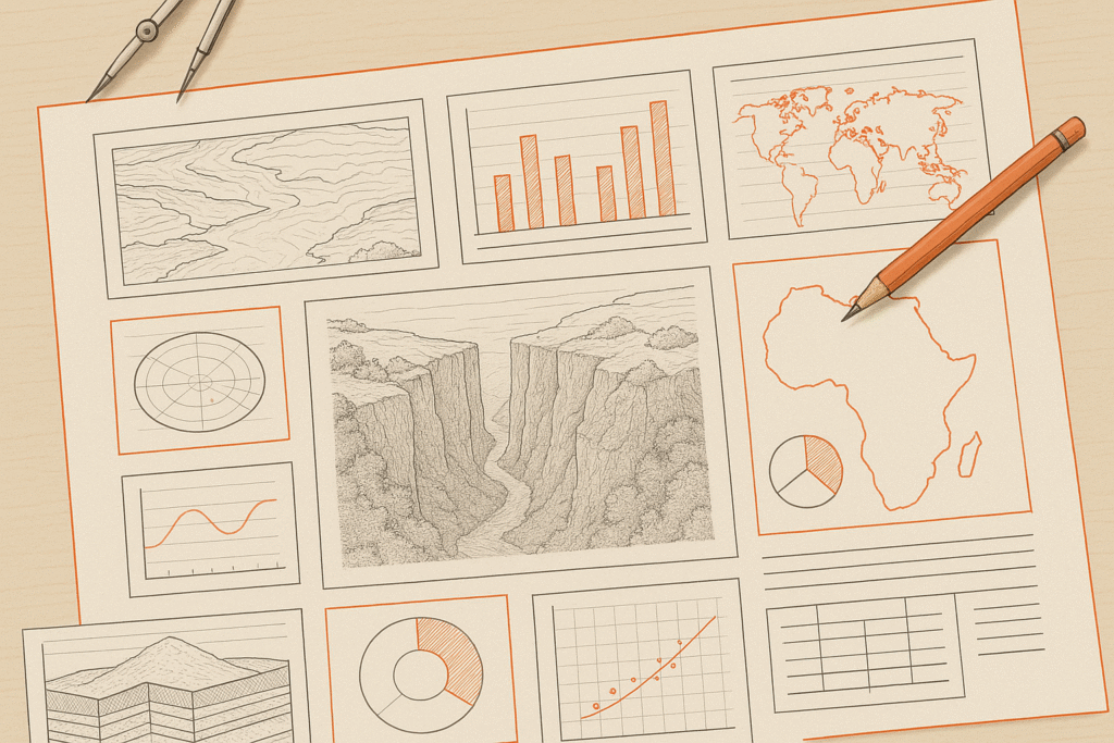

The IGCSE Geography Paper 2 exam can be intimidating at first glance – maps, graphs, diagrams, cross-sections, and data interpretation all packed into a 90-minute paper. But with the right strategies and preparation, this can be one of the most predictable and manageable components of your final Geography grade.
Here’s everything you need to know to go in confident and come out with top marks.
✍️ Paper Format: Know What You’re Up Against
- Paper Name: Paper 2 – Geographical Skills
- Duration: 1 hour 30 minutes (90 minutes)
- Total Marks: 60
- Time Per Mark: Approx. 1.5 minutes per mark
Section Breakdown:
- Question 1: ALWAYS worth 20 marks – this is the longest and most detailed question, usually based around map reading and interpretation. Spend 30 minutes on this question.
- Questions 2 to 6: Each is worth 8 marks. These are based on different geographical skills like graph interpretation, weather instruments, data tables, field sketches, or satellite images. Spend 12 minutes per question.
📊 The Most Common Question Types
While questions vary year to year, some elements show up consistently:
- Reading and interpreting topographic maps (especially in Question 1)
- Describing and interpreting graphs (bar charts, line graphs, pie charts)
- Drawing or reading cross sections
- Reading and describing climate graphs or rainfall/temperature data
- 6-figure grid references
- Measuring distances using map scales
- Working with triangular graphs
- Understanding and applying fieldwork techniques
- Identifying and explaining weather instruments
🧠 Common Sense Wins Marks
Sometimes the best answers don’t require complex geography — they need clear, logical thinking. Here’s what to remember:
- Use ALL available information: map keys, graph axes, titles, compass directions.
- Stick to the question: describe when it says “describe”, explain when it says “explain”.
- Be precise: “high rainfall in July (200mm)” is better than “it rains a lot in summer.”
⚠️ Tricky Bits – Be Ready!
- Map questions are detailed and time-consuming. Tackle them first, but skip hard parts like the cross-section or measuring until the end.
- Don’t panic about drawing skills – you’re not being marked on artistic ability, just clarity and accuracy.
📈 Describing Graphs – The Right Approach
- Use both axes: reference time, category and values.
- Mention highest, lowest, and general trend.
- Include anomalies (anything that doesn’t fit the trend).
Example: “Between 2000 and 2010, population rose steadily from 200,000 to 450,000, peaking in 2010. An exception was in 2005, when it briefly fell.”
🗺️ Describing Maps – Use STACK
Remember this when interpreting a map:
- Scale
- Title
- Annotations (contour lines, labels)
- Compass directions
- Key (legend)
Be specific: instead of “there’s a river,” say “a river flows southeast through grid square B5, next to the settlement.”
🌍 Map Reading Tips
- Start by examining the key/legend — it’s your best friend.
- Understand how the map is laid out: grid references, contour lines, symbols.
- Use the scale to measure distances — often 1:25,000 or 1:50,000.
📹 Helpful Video Links
- Map Skills – IGCSE GEOGRAPHY PAPER 2 MAP SKILLS – YouTube
- 6-Figure Grid References: IGCSE GEOGRAPHY PAPER 2 MAP SKILLS – YouTube
- Drawing a Cross Section: video_tutorial_topographic_profiles_aka_cross_sections.wmv
- Reading Scale on a Map: How to read Maps – Scale and Distance (Geography skills)
- Measuring River/Road Distance: Measuring Distances on Maps using the Paper Method – BGCSE Geography Tutorial
- Using a Triangular Graph: Triangular graphs
⛺ Weather Instruments – What to Know
You may be asked to identify or explain how instruments like the rain gauge, anemometer, barometer, or thermometer work. Include:
- What it measures
- Units used
- Ideal placement and why
Example: “A rain gauge measures precipitation in millimetres and should be placed on level ground away from buildings.”
✉️ What to Bring into the Exam
You are allowed to bring the following:
- Insert Booklet (comes with the paper)
- Topographic Map Extract (1:25,000 or 1:50,000 – enclosed)
- Plain paper (for drawing cross sections etc.)
- Ruler (for measuring distances and drawing)
- Calculator (for data interpretation)
- Protractor (occasionally useful for direction-based questions)
- Pencil + Eraser (for diagrams and maps)
🔗 Past Paper Practice (Highly Recommended!)
Use real exam questions in Geography past papers to practise skills:
🚀 Final Tip
Focus on clarity, accuracy, and structure. Practice under timed conditions. Don’t aim to be clever – aim to be clear and correct.
Stay tuned for the next blog: Top Tips for IGCSE Geography Paper 4: Alternative to Coursework (0460)
Interested in diving deep, try learning How to Interpret Photographs and Land Use in IGCSE Geography Paper 2 (0460), click here.